KOENIGSHARDT - 2018-04-16 13:16:38
- Magnitude 2.8
Last update : 2021-08-24 14:59:00 Belgian time
Main parameters
| Date and time |
2018-04-16 13:16:38 UTC
2018-04-16 15:16:38 Belgian time |
| Type | Known induced event |
| Magnitude | ML 2.8 |
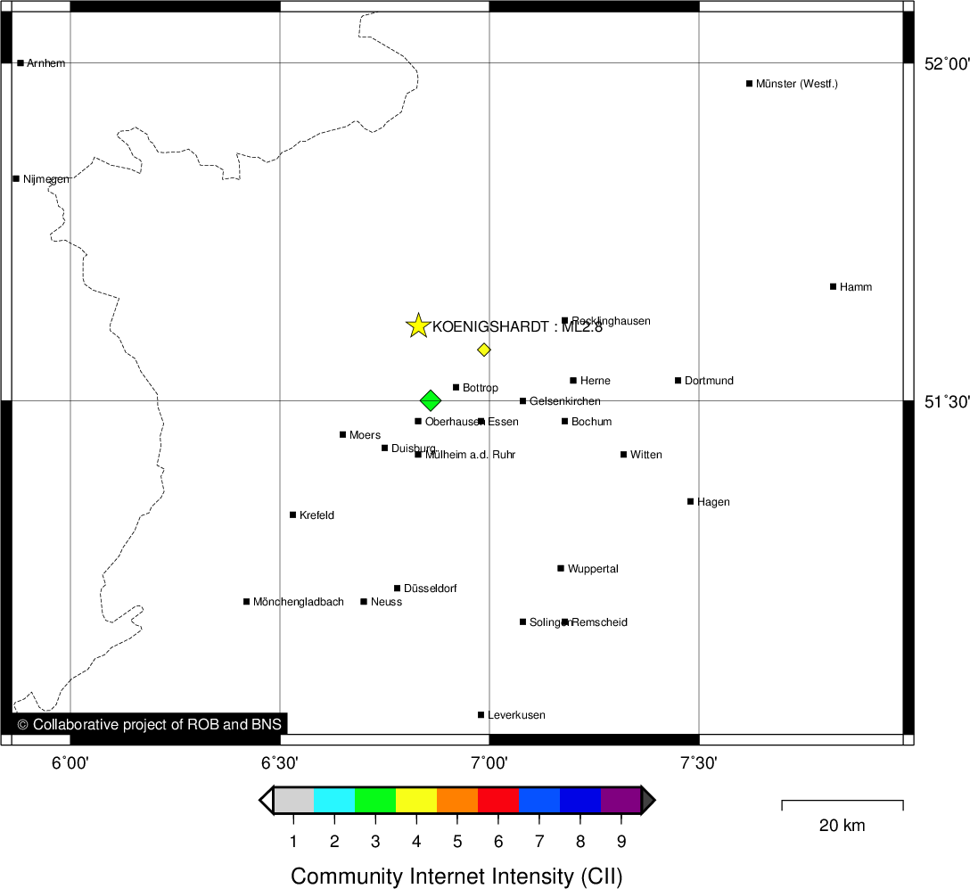
| Region | KOENIGSHARDT |
| Epicentral coordinates | 51.611° N, 6.831° E |
| Depth of hypocenter | 1.0 km |
Data source : BNS (Cologne University)
Location map
Quake measurements
Measurements by the Belgian seismic network
| Station | Epicentral distance (km) |
P-Wave arrival (hh:mm:ss.ss) | S-Wave arrival (hh:mm:ss.ss) | Maximal ground displacement (nm) |
|
|---|---|---|---|---|---|
| Code | Place | ||||
| MEMS | MEMBACH | 125 | 13:16:59.91 | 13:17:14.69 | - |
| MRG | MONT RIGI | 133 | 13:17:01.25 | 13:17:16.83 | - |
| HOU | HOUVEGNEZ | 151 | 13:17:03.83 | 13:17:22.06 | - |
| CLA | CLAVIER | 170 | 13:17:06.23 | 13:17:26.88 | - |
| KLB | KALBORN | 176 | 13:17:07.13 | 13:17:27.81 | - |
| GES | GESVES | 183 | 13:17:08.04 | - | - |
| VIA | VIANDEN | 192 | 13:17:09.28 | - | - |
Macroseismic
Data
| Total number of responses | 5 |
|---|---|
| Intensity III | 2 |
| Intensity IV | 3 |
Attention! The intensities derived from the macroseismic enquiry are raw unverified data.
Map
Data policy
Please read on this notice to learn more about our data policy.