Until recently, measuring vertical land movement could only be achieved using repeated levelling measurements. This was done using theodolites since the end of the XIXth century. However, it is hopeless to apply this technique to detect land movements smaller than a centimeter per year. Fortunately, for the last 20 years space geodesy allows investigating crustal deformations with an unprecedented precision. For example, it is know that the tectonic plates are generally rigid, as the deformation rates in the plate interiors are smaller than one millimeter per year. In particular, GPS and VLBI measurements showed that the relative horizontal movements between central Europe and the west side of the Rhine Graben must be smaller than 0.6 mm/an. Should they be larger, they should have been detected yet. To better assess those deformation rates, the Observatory undertook long-term projects (more than 10 years):
- Near the Roer Graben, continuous measurements of relative movements on both sides of the Feldbiss fault. Two GPS stations were installed in 1997, one in Bree inside the Roer Graben and on in Meeuwen, on the Campine Plateau. Presently, no detectable motion could be detected between those stations, 7.5 km from each other. The quality of the measurements is such that relative motions larger than 0.5 mm/year should have been detected. This agrees with the rates provided by the analysis of the above-mentioned European GPS networks.
-
Since 1999, we perform repeated absolute gravity measurements at eight
stations across the Ardenne and the Roer Graben. This 9 km-long profile is
repeated once or twice a year and should allow detecting the spatial
extension of the possible vertical land movements. It will also allow
distinguishing local motions from large-scale ones such as the postglacial
adjustment.

Figure : The different stations where repeated absolute gravity measurements are performed. The largest observed difference in gravity in Belgium amounts about 2600 µm/s2 (or 0.00026 g). After correcting for elevation (“free air correction”) and latitude effects, 600 µm/s2 are remaining and are due to the geology (“Bouguer anomaly”).
-
In the framework of sea-level changes, gravity measurements are also
performed once a year in Oostende, since 1997. This is done at the Flemish
Hydrography – Coastal Division, 950 m far way from the tide gauge.
Measurements are also repeated since 2009 in Saint-Amand-les-Eaux (Northern
France), a collaborative project with the Regional Natural Parc
Scarpe-Escaut, which is a low-lying region (elevation 20 m), quite
vulnerable to climate changes.
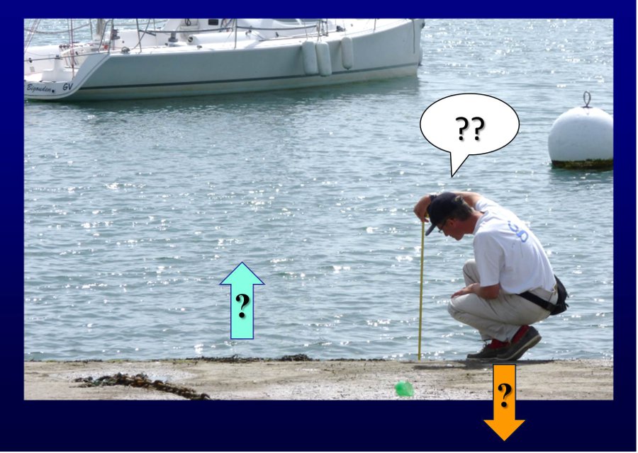
Figure : Measuring the mean sea level is not straightforward: it is necessary to know about the stability of the benchmark. In other words, if water moves up, does the sea level increase or does the land move down? Absolute gravity measurements are a way to address this question.